On a trip that took us previously to two drive-up high points in Nebraska and Kansas, Black Mesa in the extreme panhandle of Oklahoma was a wonderful surprise and treasure. It involved a relatively long 8.4 mile roundtrip hike with 800 feet of elevation gain in gloomy weather with the temperature in the low to mid 30s and a wind chill that was probably in the 20s. It was remote and seemed wild, nothing I had ever associated with Oklahoma. I loved that sense of wilderness. The contrast to our two prior high points made me appreciate this so much more.
 |
| A memorial bench at the trailhead. |
 |
| Occasional directional arrows let us know we were on the right track. |
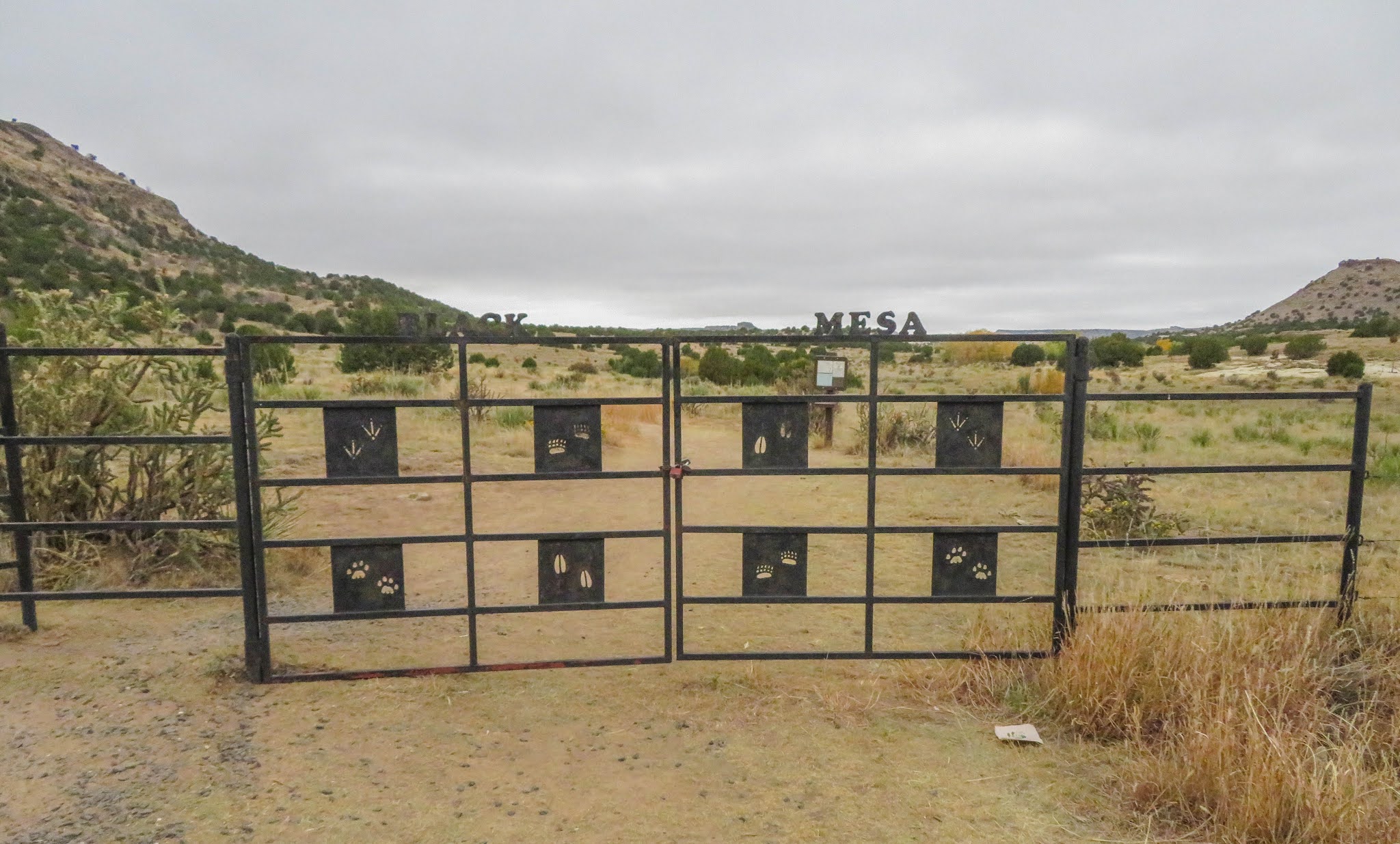
The closest town, Kenton, Oklahoma, is 9 miles away, has a population of 17, no store, no gasoline and no supplies. There are a few bed and breakfast opportunities near Kenton, but none that were available to us. To get what we felt were safe accommodations in this time of COVID, we had to stay in Clayton, New Mexico, which is 43 miles away and a 53 minute drive. Our drive to Black Mesa revealed only a few remote farms and lots of open country.
The landscape is nothing I previously associated with Oklahoma. The mesa is covered by basaltic lava from a volcano eruption 3 to 5 million years ago and is 600 feet thick. Black Mesa is 55 miles long and varies from 8 miles to a half-mile wide.
Wikipedia notes that it is the "driest, harshest and coldest" place in Oklahoma and includes mountain lions, bobcats, black bear, bighorn sheep, elk, pronghorn, prairie rattlesnakes and Texas horned lizards in a protected area known as the Black Mesa Nature Preserve. The flora was primarily tree cholla and juniper and it was pretty well disbursed.
 |
| This is the vehicle track trail relatively close to the trailhead. Black Mesa is visible in the background, but the trail curves around the point visible to the far left where it goes up the side of the mesa. |
 |
| Tree cholla, which I don't think I've ever seen before, is common, particularly before rising up to the top of the mesa. |
 |
| Rubber rabbitbush |
The trail follows a vehicle track for several miles and has three benches along the way, marked mile 1, mile 2 and mile 3. The mile 3 bench appeared to be much less than a full mile from the mile 2 bench, but it was about five-sixths of the elevation gain up the side of the mesa and had a great view. However, the summit walk along the top of the Mesa after the last bench then seemed longer than the mile with an added two-tenths. I was wearing a parka and never took it off. On the walk back we were going into the wind, instead of with the wind, and it was quite chilly.
 |
| Bench at Mile 1 |
 |
| Bench at Mile 2 |
 |
| Bench with a view at Mile 3 |
 |
| Photo near the edge of the top of the mesa. The trail is visible to the right. |
The summit itself is pretty unremarkable. It is very flat and nothing suggests that it is a high point other than the granite marker and a bench.
 |
| Judy next to the marker which is made of Oklahoma Indian head granite. The marker let us know that Kansas is 53 miles east north east; Texas is 31 miles south; New Mexico is 1,299 feet west; and Colorado is 4.7 miles north. |
 |
| A bench donated by a Scout troop. |
Although the high point in Oklahoma is 4,973 feet, where the mesa extends into Colorado it attains an elevation of 5,705 feet and in New Mexico it attains an elevation of 5,239 feet.
We did the round trip hike, including a short stay at the top, in three hours and 17 minutes.


I was a little grumpy about the cold and the early start, but it turned out to be a memorable hike and well worth the effort. We walked at a pretty good clip and although I was never tempted to take off my down coat, I was also not overly cold. However, a nice mug of hot chocolate when we got back to the car would have been nice. You should have arranged that.
ReplyDeleteLooks like it was a very cold.
ReplyDelete