Harney Peak is the high point in the State of South Dakota at 7,242 feet in elevation and it claims to be the high point in the U.S. east of the Rocky Mountains, although I'm not sure how that squares with Guadalupe Peak in Texas which is 8,751 feet in elevation and I believe also east of the Rocky Mountains.
We decided to hike to Harney Peak from Sylvan Lake, in Custer State Park, which was featured in National Treasure: Book of Secrets, a film with Nicolas Cage, Jon Voight, Ed Harris and Helen Mirren. The trailhead elevation is 6,100 feet. Sylvan Lake is about 7.5 miles from the city of Custer, South Dakota. Custer made national news just a few days before we arrived when it got 8 inches of snow in early September, the earliest snowfall since the late 1800s. We were concerned that the trail would be snow-covered and iced-over and impossible or too difficult to follow, so we spent the morning elsewhere in Custer State Park hoping that the sun would melt the snow off the trail. The temperatures were in the high 50s.
Our fears were assuaged when we arrived a little before noon and found a parking lot full of cars near the trailhead and plenty of people either coming down from the mountain or getting ready to go. There was only about 1,142 feet of elevation gain, so we were not too concerned about an overly steep grade. The trail was 3.5 miles each way, or 7 miles round trip.
The trail starts at a relatively even grade. Eventually we reached a sign indicating we were in the Black Elk Wilderness Area and then an overlook over a valley with the Harney Peak lookout perched on a ridge on the other side. The high point was not obvious initially, but once we spotted the lookout tower, the peak became obvious.
 |
| The lookout tower on Harney Peak is right of center. |
 |
| Lookout tower. |
As we hit trees which shadowed the trail on both sides, snow covered the surrounding landscape, but the trail was mostly snow free, although muddy in parts.
 |
| Trail traversing through the snow. |
As we reached the rock spine upon which the lookout tower sits, we got help navigating upwards. Metal stars have been installed that bridge a couple of chasms and then rock stairs lead to the lookout tower itself. Park personnel were working on the tower, including some hanging on the side with ropes. The view from the top is incredible, particularly the Cathedral Spires which form the backdrop for the Cathedral Highway. We also could see the backside of Mt. Rushmore after having it pointed out to us, but the carved faces were not visible.
 |
| The access to the peak is found in the center above. |
 |
| The trail enters through the opening in the rock. Metal steps are found toward the top of the man-made wall. |
 |
| Judy on the metal steps that span the chasm on the way up the rock walls. |
 |
| Judy and the lookout tower. |
 |
| Lookout tower. |
 |
| Judy in the top of the tower. |
 |
| A man-made reservoir is visible below. |
 |
| Cathedral Spires. |
 |
| Mount Rushmore is on the backside of the flat topped mountain in the center. |
We had an enjoyable lunch of jerkey (buffalo and beef), potato chips, cheese dip and chocolate.
I found a small sign for "Valentine McGillycuddy, Wasicu Wacan" which is Lakota for "Holy White Man. Valentine was the first known person to climb Harney Peak as a surveyor. He was later an Indian Agent and the doctor who treated Crazy Horse at the time of his death. His ashes are entombed behind the sign.
 |
| Valentine McGillicuddy's ashes are found here. |
Harney Peak was the site of Black Elk's sacred vision when he was age 9. As I understand it, Harney Peak was considered the central mountain of the world and the center of the earth to the Lakota. He saw more than he could tell and understood more than he saw. He saw the shapes of all things and the shape of all shapes as they must live together. Harney Peak is still considered sacred to the Lakota. Black Elk later toured with Buffalo Bill Cody in his Wild West Show, including a performance in front of Queen Victoria.
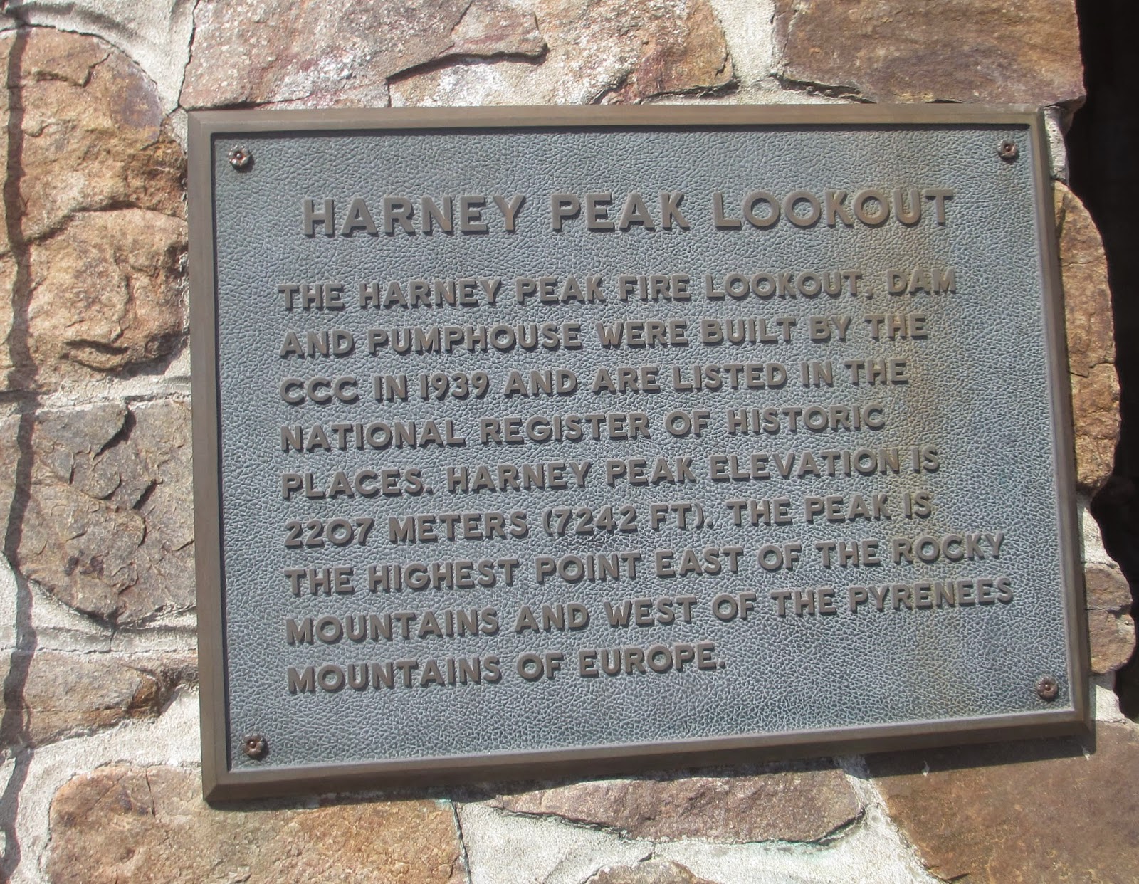
The lookout tower was built by the Civilian Conservation Corps in 1938. It was staffed as a fire lookout until 1967.
We made the hike to the summit in two hours, spent about 45 minutes on top, then made it back down in an hour and 20 minutes.


Very fun hike. The cool weather made it ideal. The mud on the trail wasn't too bad, considering that there had been quite a bit of snow there just a few days before. I really liked the final ascent with its rock passage and metal stairs.
ReplyDeleteI was up there on Tuesday, 09/17/2019. There is now heavy-duty glass in the window frames that make up the 360° view at the top of the tower.
ReplyDelete