After doing Mount Shavano and Tabeguache Peak the day before, we went in to Salida to a pizza joint for dinner and then stayed another night at the Hampton Inn & Suites. I tried to get the bed and breakfast we've stayed at several times in Twin Lakes, and also a number of places in Leadville, but everything was full because of a mountain bike race in the Leadville area. We were beat from three days of hiking and very little sleep and went to bed around 9:00 p.m. or so. On Saturday morning, August 11th, we woke up around 5:00 a.m. and got ready. We had a one hour and 45 minute drive to the Mount Massive trailhead. Several things happened that dampened the day for me and our prospects of summiting Mt. Massive. First, the tire on our rented vehicle was very low and we went to fill it. It needed about 25 additional pounds of air pressure. That concerned me because the North Halfmoon Creek trailhead we were going to for Mt. Massive is down an eight mile four-wheel drive road with the last 2.5 miles rated a four out of a six (six being the most difficult) on the 14ers.com website. I was concerned that if we got down the road and came back down from our hike and found the tire flat, that we might have a very difficult time getting out. Second, there was a 40% chance that thunderstorms would hit the mountain about 11:00 a.m. Given our long drive and later start, I was concerned we would be stopped short by weather. Third, the main trailhead for Mount Massive, which was two and a half miles closer on the same dirt road, and avoided the most difficult portions of road, goes up the east slopes of Massive and has 4,500 feet of elevation gain over 13.75 miles. The route we were taking, up the southwest slopes, had 550 less feet of elevation gain and was 5.75 miles shorter. Given the coming rain and how tired we felt, the main trail did not seem like a good alternative. As we drove to the trailhead we had some delays as the mountain bike race was using portions of the road we were using. Things went smoothly down the dirt road. We passed the main Mount Massive trailhead and it was packed with cars. Immediately beyond it the road got worse, very narrow and windy. Near the trailhead we were seeking, we hit an uphill section that I got stuck on. I had to back down, put it in four-wheel low and make another two attempts before I was able to make it over the hill. There were only five or six other vehicles at the trailhead.

We started out at 10,500 feet in the beautiful green valley of North Halfmoon Creek with lots of trees and stayed within them for about 1 1/4 miles. Three years earlier, with Judy, I climbed Mount Elbert, the tallest mountain in Colorado and second tallest mountain in the lower 48, and got a beautiful view of North Halfmoon Creek and Mount Massive from the summit. See below.

Massive has five peaks that are all above 14,000 feet and truly is "massive." An enlargement of the picture shows the main peak,

which is 14,421 feet, the second tallest mountain in Colorado and third tallest in the lower 48, in the upper center. To its left is a smaller peak, then another peak that looks about the same height as the main peak. That is North Massive and the little bump left of it's center is 14,340 feet. To the right of the main Massive peak is South Massive, which looks quite a bit shorter at 14,132 feet. At about 11,300 feet the trail reaches a boulder field and starts steeply uphill. We knew this was going to happen as the first 1 1/4 miles was relatively flat, which left the last 2 3/4 miles to gain 1,135 feet per mile, more than 200 feet per mile steeper than Mt. Baldy, which I use for training hikes, which goes up 930 feet per mile. About this point Andrew fell way behind. He was still feeling the effects of altitude. He waived us to go on, so that he could stay down below tree line with his beloved mushrooms. Below, Sam got a picture of me hiking with Mount Elbert behind me.

Another picture with a good view of Mount Elbert and North Halfmoon Canyon.

For some distance the trail was built out of rock through the boulder field (picture by Sam).

It was very nice, but the steps were larger than what I would normally step, requiring an artificially large step. The trail left the boulder field at about 11,900 feet and continued on to follow a dirt trail that was not as steep.

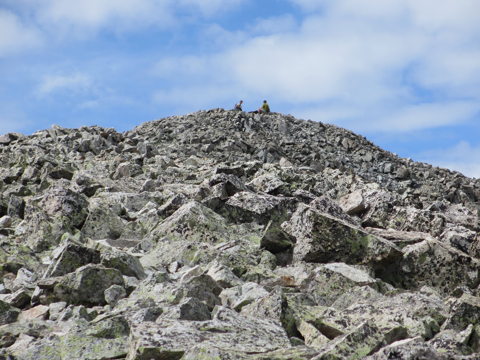
About 12,300 feet we hit a big rock pile and beyond it were some trees with branches that were full of white clumps that looked like cotton.

We eventually figured out that it was mountain goat fur. I later confirmed that mountain goats moult in the spring by rubbing against rocks and trees. This small stand of trees was obviously a nice site for that activity. Beyond this point the terrain steepens and the trail switchbacks up the side of the mountain.

The views of the surrounding mountains are very impressive. We also got hit with a very strong biting wind that instantly chilled me and necessitated my putting on my jacket (picture by Sam).

There were several gusts that literally picked me up slightly and pushed me forward, I think maybe the strongest wind I've ever been in. The prospect of being in that wind with lightning and strong rain was not pleasing. The trail eventually hits more rocks (picture by Sam)

and zig zags toward the ridge which is at 14,100 feet.

To the right above the saddle is South Massive. We turned left and the summit ridge eventually comes into view.

A series of humps in the ridge lead to what looks like the summit, but the summit is still beyond, seen further to the left in the next picture.

Below us, to the left of South Massive, the main Massive trail comes up from the east side.

The summit ridge is kind of fun, a nice change from the rather boring bare slopes we'd taken up from the southwest. There were quite a few people on it, virtually all of them from the main trail, and it winds up and around and through the rocks with spectacular views, playing head games with you about where the summit is located and how far it is. In the next picture, the summit of Massive, with people on top, comes into full view, and North Massive is in the distance to the left.


Sam caught a picture of me as I came up to the summit, with my wonderful red head beanie which keeps my head and ears warm, but does not blow off.

A nasty wind was whipping the summit and the man that took our picture had his baseball cap fly off, while Sam was taking his picture, and land about 25 feet away.

The next picture of Sam and me was taken by Sam.

Andrew says I look like Hulk Hogan, as my red beanie merges with the red hood of my jacket and makes it look like a red scarf wrapped around my head. Sam was anxious to get off the summit before the storm hit, so we quickly turned around and headed back in the same direction we'd just come.

On another day, with more time and better weather, it would be fun to do both North and South Massive. On the way back down we got the ridge from a new view,

as well as the spectacular sea of mountain peaks to the south.

Below, another view of South Massive and Mount Elbert to the right.

When I was talking to Sam about Elbert on the way down, I was thinking it was further away, and identified what turns out to be La Plata Peak, another fourteener at 14,336 feet, as Elbert. Below, Elbert is the highest peak to the left and La Plata is the darker peak in the back center.

From our vantage point, it looked larger and more impressive (La Plata is a great looking peak that I am looking forward to hiking).

This sea of peaks has to be right up there with some of the other spectacular mountain views I've seen.


At some point on the way down, the cumulative pounding my toes were taking against the ends of my tennis shoes resulted in a sharp pain on my left foot, the toe next to my big toe. It was already blistered from the prior three days of hiking and I guessed that I had broken the connection between the nail and the nail bed. I think this was confirmed correctly that evening as I pulled of my shoes and socks and found that the blistering now went below the nail with an accumulation of blood and other fluid.

My right big toe was already going to lose the toe nail. It now had a large blister between the toe nail and the toe.

One of the hazards and consequences of hiking, at least for me and my challenge to find shoes that don't ravage my feet. The rest of the way down the mountain was relatively uneventful. We watched a mother and several young marmots scurry in front of us and,

as the day before, once below tree line, followed Andrew's trail with mushrooms along the side of the trail. We met up with Andrew at the trailhead.